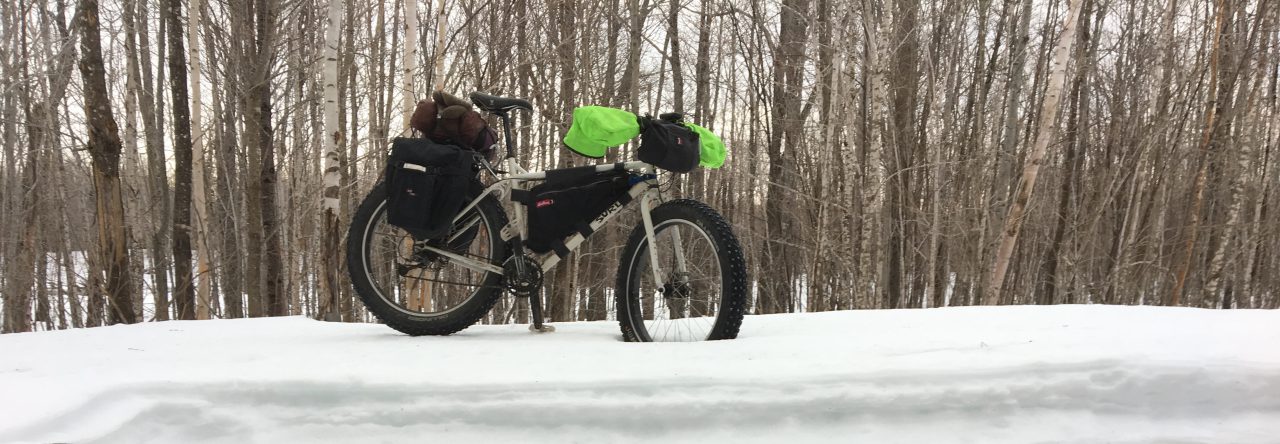
Ah, the warmth of summer! A check on the weather on the top of Mt. Washington this morning was sobering. Up there, at 6,288′ it was 32 degrees, with the wind holding steady at 52 MPH with gusts up to 80 MPH.
GuthooK was up to Abram on August 8th, and wrote about it.
Aislinn wrote about it this month in her One Minute Hikes.
If you don’t know about the Maine Trail Finder, you should. Here is the link to the Fire warden’s trail on Mt. Abram– it’s all you’ll need to get there.
It was my turn today, and what a day it turned out to be.
It is only a two hour ride from my house to the village of Kingfield, where you veer off onto to West Kingfield Road and the navigating gets more interesting. You’ll be driving over 6 more miles of road, the last 3 gravel, washed out in places, but you can make it in a passenger car if you are plucky and drive carefully over the ruts. You used to be able to drive all the way to the trail head. Hurricane Irene washed out two bridges that are 1/2 a mile from the actual Firewarden’s Trail head, and there is no way a car can fly over a 10′ drop that is twenty feet wide. Here’s a 4 minute video of me getting back over the deepest wash out.
The day was crisp, clear, and breezy. Perfect for hiking. I dislike humidity.
This is a great hike. The trail is well-marked, and I was following a GPS route supplied to me by Guthook. The hand printed signage is a little confusing after crossing the second washed-out bridge, but just take the immediate right. There was an especially confusing brand new sign about a mile from the top that read “Appalachain Trail”, with the usual warnings about vegetation, etc. The real AT was more than a mile away skirting the side of Sugarloaf to the north. Someone made a mistake.
The beginning is easy, gradual, shady, and with ample water. Just before the site of the former cabin, at the three mile mark at 2,100′ there is a strong stream where final drinking water can be accessed. This site now has an outhouse and several tent sites, for those who want to make an overnight out of this trip. From here it is 1.5 miles to the summit, with 2,000 feet of vertical ascent coming into play.
The trail continues up in elevation, over the dwindling forest cover. Lots of rock and roots to get over.

From the Maine Trail Finder: “The remaining half mile of the trail to the summit is a boulder scramble through the second largest alpine zone in Maine. At approximately 350 acres, it is second in area only to Mount Katahdin in the state. This section of trail is very exposed and can be dangerous in bad weather. The trail is well marked by cairns, but even the experienced and advanced hikers will need to pay attention as not to lose the trail, especially in bad weather.
At the summit, there is a fire tower marking the peak and, nearby, a shelter on the remains of an old fire warden station. Here, the trail connects to a side trail of the Appalachian Trail which runs north connecting to the Appalachian Trail Corridor. On a clear day hikers can enjoy 360 degree views of the entire High Peaks region of Maine.”

Accurate description. It was stunning up there. Regarding the “shelter”- It is a small “cave”, created from piled rocks, covered with tar paper and a tiny wooden roof, but one person can lay down in it, maybe two can squeeze in, and one could definitely spend a sheltered night on top. General Lee did it last year at this time and encouraged me to stay up there on this hike.
I was back home just 12 hours after leaving this morning, and am still digesting this most rewarding hike, up high, here in Maine. As a concluding rant, I am truly baffled by the fact that I saw only two other hikers all day- both from New York, and concluding their New York/ New England peaks list.

If you do many more videos of creek crossings you might invest in a helmet cam of some sort. It’s definitely kind of sketchy trying to rock jump across a creek with only one hand free. Love the photos and video. You can’t beat that view you had at the old fire tower.
LikeLike
love the idea of a helmet cam for fords! great trip report!
LikeLike
Whoopie Pie, This is a great hike. If the predictions are good, I’d suggest an overnight in the little hut/sheltered rock pile on top.
LikeLike
Good point. I am trying like hell to avoid buying more stuff. Dumb thing to do.
LikeLike
lookin good, UT. glad you enjoyed the trip. i found Abraham to be perhaps the most rewarding peak in your state (outside of Katahdin, of course). so close to the AT, yet it seems just about no one goes up there. love that Firewarden’s Trail too. still remember how Queso, Wizz, and I accidentally hiked the toughest trail in New England. sad to see the fire tower is no longer up top.
i head out for my coast-to-coast Costa Rica trek tomorrow. this is gonna be GOOOOOOD! keep your motor running and your legs a movin. much love to you and your family. give my regads to everyone, especially Marcia and your mother…all that Polish Power from Isabel’s home-cooking is still keeping me going!
LikeLike
Very interested in what you can convey to us about your most challenging and unique adventure. Please come back alive!
LikeLike